

UK soil database open access marks a significant step in improving access to environmental data, with new tools designed to support climate monitoring, agriculture, and land-use planning.
Cranfield University, in collaboration with Defra, has launched an updated version of its Land Information System portal, making soil and environmental data across England and Wales freely accessible.
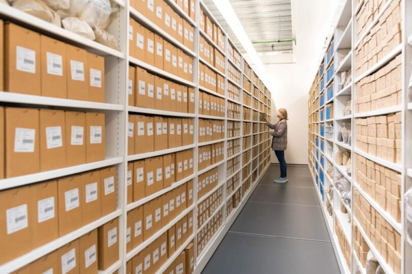
The platform includes the National Soil Map of England and Wales (NATMAP) and provides access to more than 30,000 soil samples and over 250,000 soil observations.
UK soil database open access supports climate and environmental decision-making
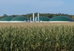
Soils play a critical role in climate regulation, with UK soils storing an estimated 10 billion tonnes of carbon. Access to detailed soil data enables better monitoring of this natural carbon store and supports strategies to mitigate climate change.
The UK soil database open access initiative provides users with insights into soil composition, water catchment areas, subsidence risks, and land conditions. These datasets are used by water companies, planners, researchers, and government bodies to inform infrastructure planning and environmental management.
Open access to this information is expected to improve coordination across sectors, particularly in addressing challenges such as soil degradation, erosion, and contamination.
Understanding soil data and its role in sustainability
Soil health is increasingly recognised as a cornerstone of sustainable land use, food security, and ecosystem resilience. Degradation caused by compaction, erosion, and loss of organic matter presents long-term risks to both agriculture and biodiversity.
By making decades of collected data publicly available, the UK soil database open access platform supports more informed decision-making at both local and national levels. It also enables researchers and policymakers to better track changes in soil health over time.
The system has previously been used to assess the impacts of landfill sites, monitor soil erosion, and support sustainable agricultural practices. Expanding access broadens its potential impact across multiple industries.
This development aligns with wider government objectives to improve environmental data accessibility and strengthen the evidence base for land use planning and climate policy.
Explore more on our Earth & Nature coverage and Agriculture insights.